Aerial camera applications:
*Land Surveying
Since 1924, aerial photographs have been taken to document the natural and man-made landscape conditions of Hong Kong at different times. Aerial photographs have been used by the land surveying industry to assist in the surveying work, and the cost of taking aerial photographs has been significantly reduced by drone. Among them, land surveying can be regarded as the earliest industry to adopt drone and its related technology. There are two main methods of surveying and mapping using UAVs: mobile vehicle surveying and aerial photography surveying. In the former case, the drone is used in conjunction with other tools, such as laser scanners and infrared cameras.
*Weather Forecasting
In the field of meteorology, there are some "special" areas that are difficult to be achieved by manual inspection, such as obtaining meteorological data of the ocean, the Tibetan Plateau, and uninhabited areas, where the advantages of UAVs are more prominent. Specifically, the drone can be used in the ocean typhoon detection, plateau, uninhabited areas of strong convection weather observation, typhoon detection, disaster monitoring, investigation and ecological monitoring and other fields.
*Firefighting and search and rescue operations
For example, in the Notre Dame fire rescue, the drone showed its advantage. Meteorological departments also use drones to monitor forest fires, floods, lake cyanobacteria, land use, soil sanding and grassland ecology. In addition, the drone also plays an important role in search and rescue operations, the drone flight flexibility, high mobility, not subject to terrain constraints, a short period of time can be searched for a large area. In the night or foggy environment, it is difficult to carry out manual search and rescue, the drone equipped with thermal imaging camera can break through the light limitations, all-weather efficient operation, in order to save the lives of valuable time.
*Commercial activities (advertising, TV and movie production)
The drone can be used in commercial activities to take unmanned shots or aerial scenes.
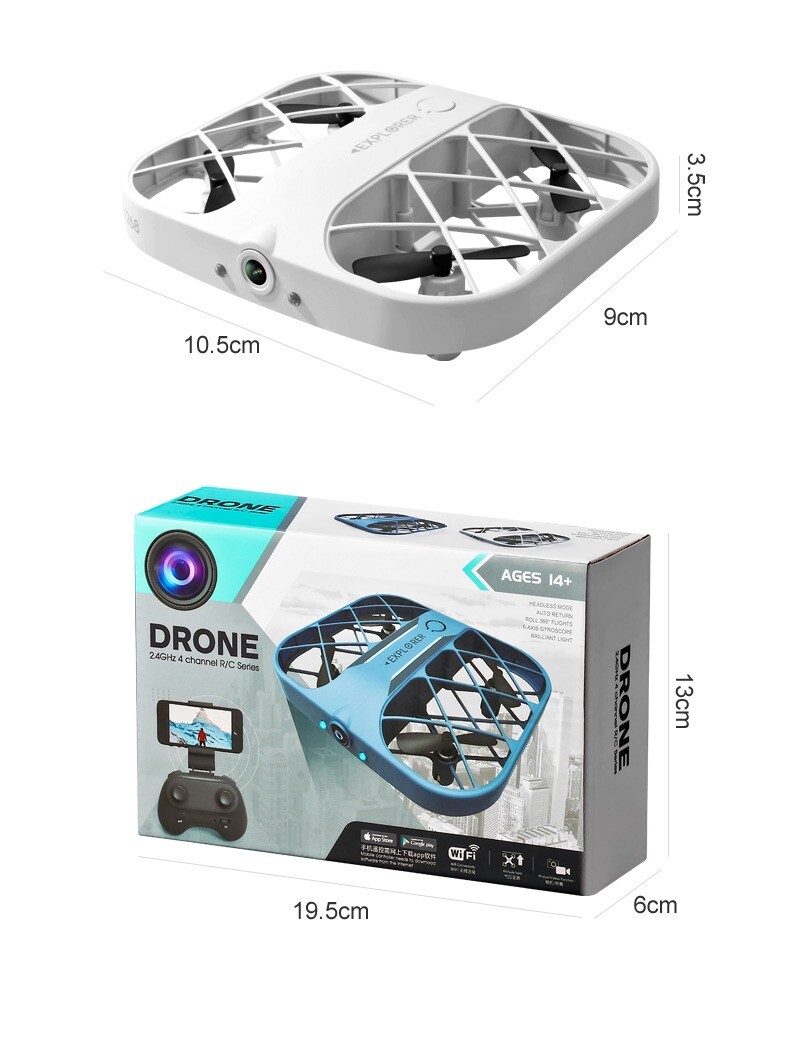
Product Information.
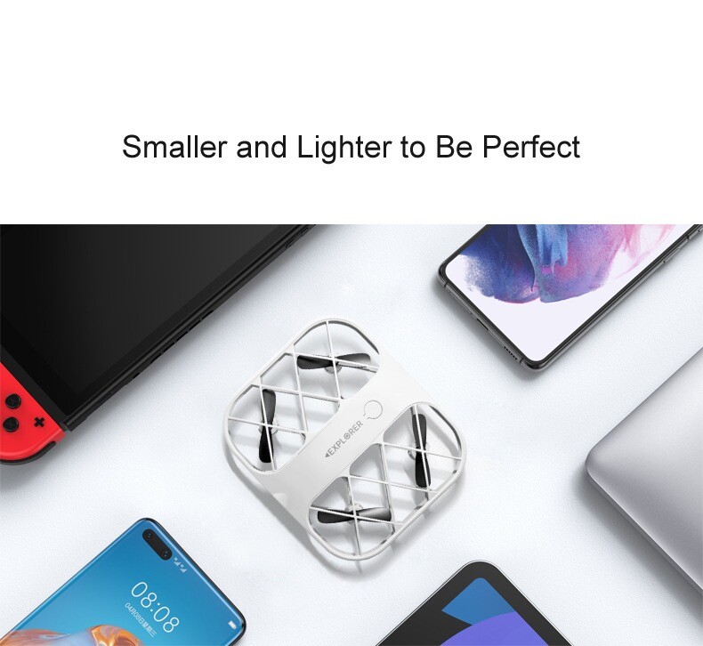
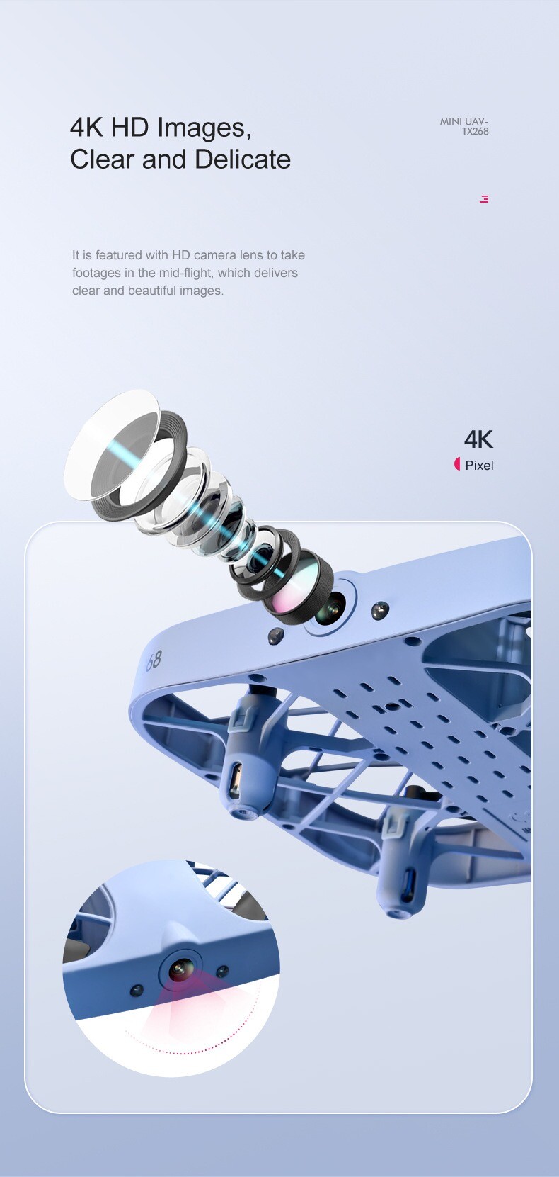
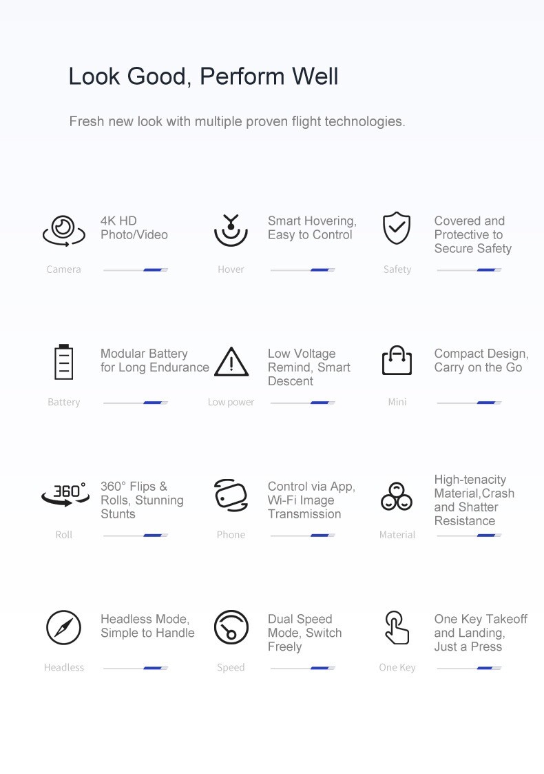
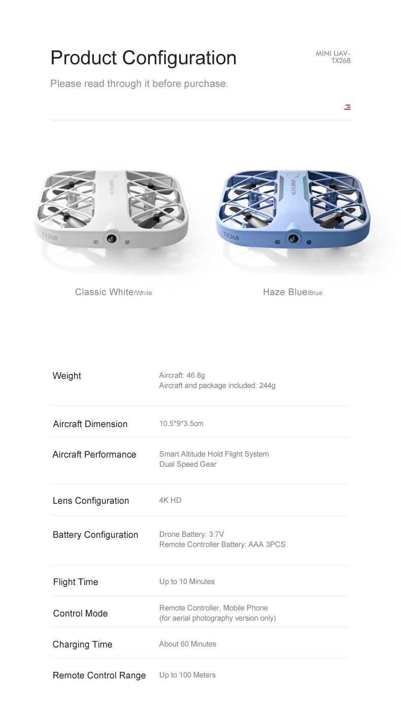
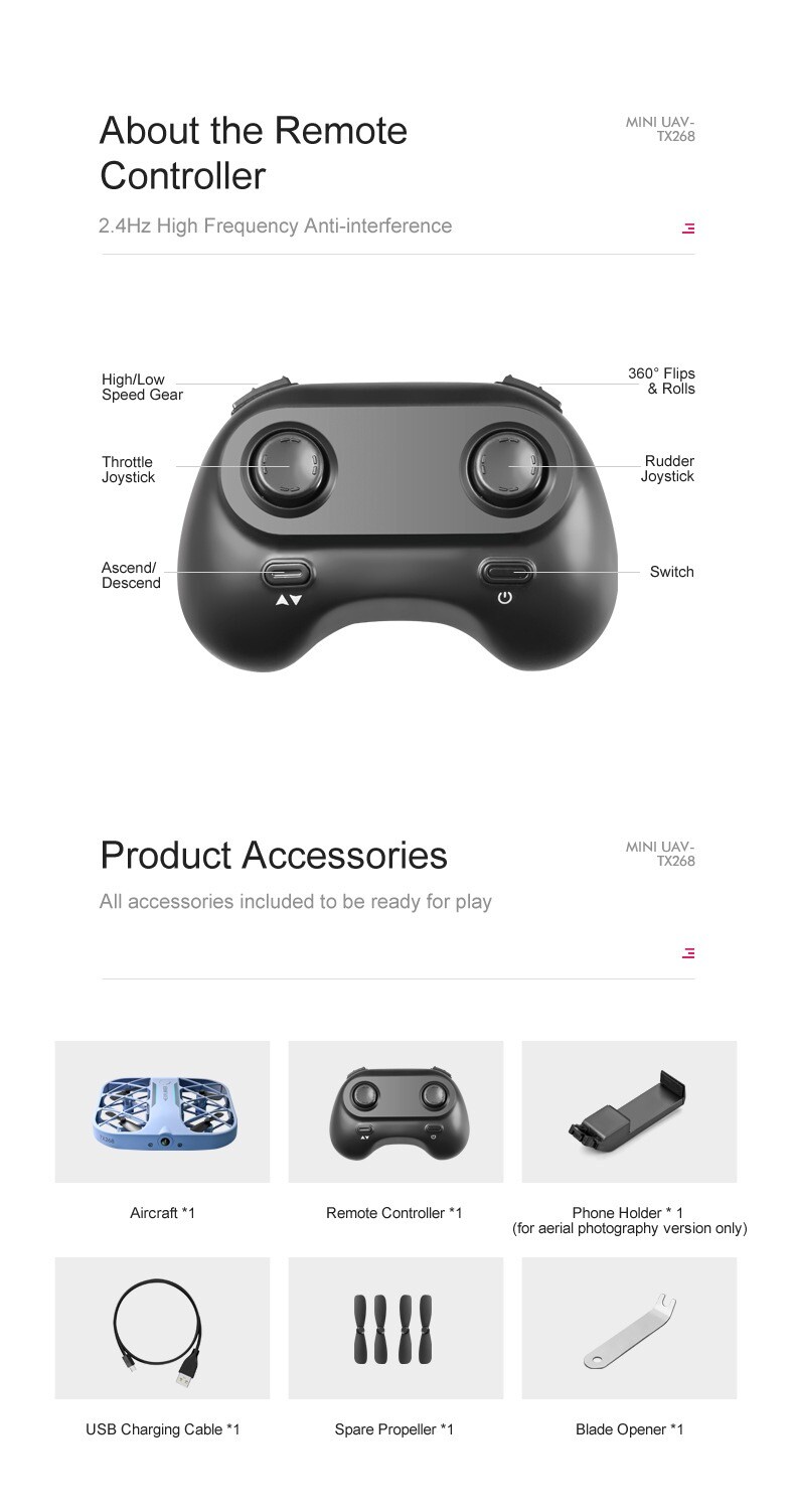
*4K HD photo/video
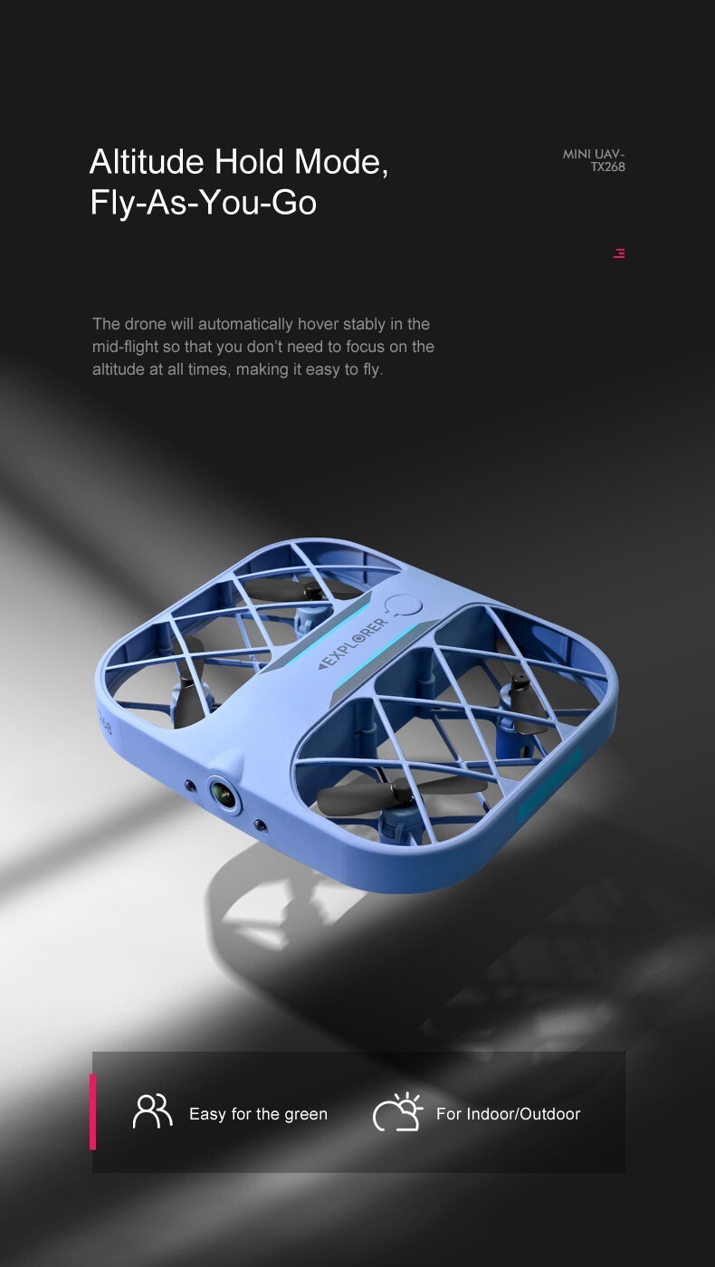
*Intelligent hovering, easy to control
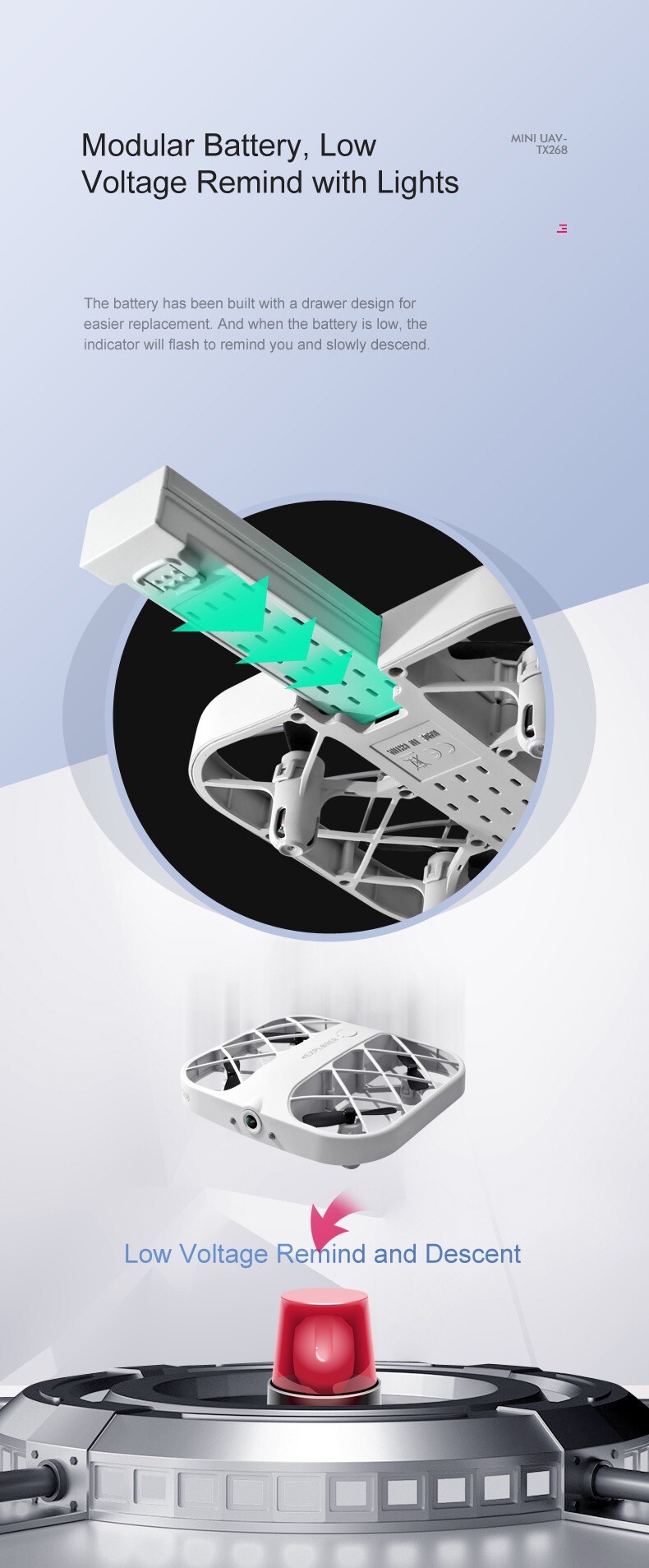
*Rechargeable battery, low voltage alert, intelligent descent.
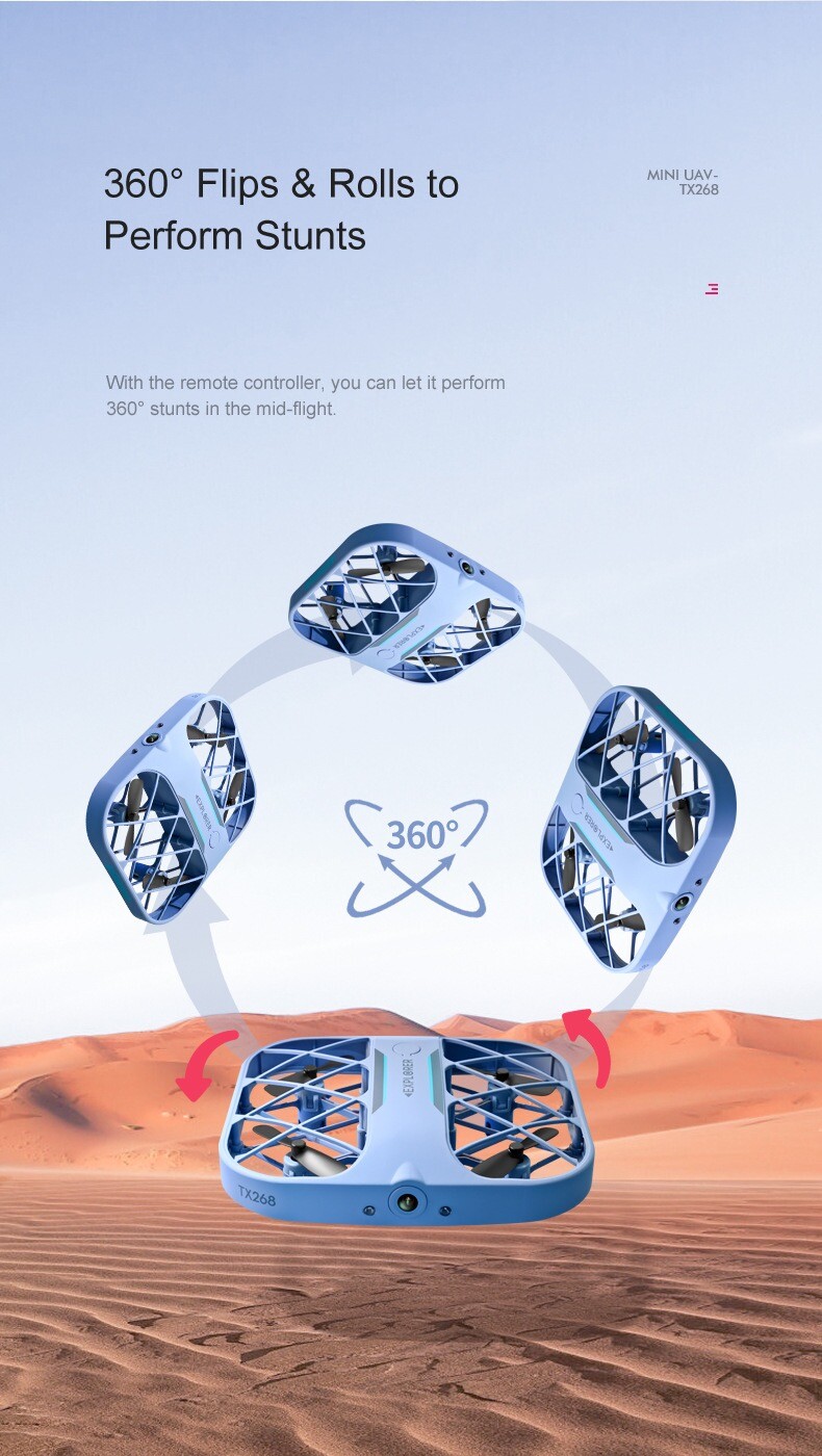
*360° flip and tumble, amazing stunts
*App control, Wi-Fi map transmission
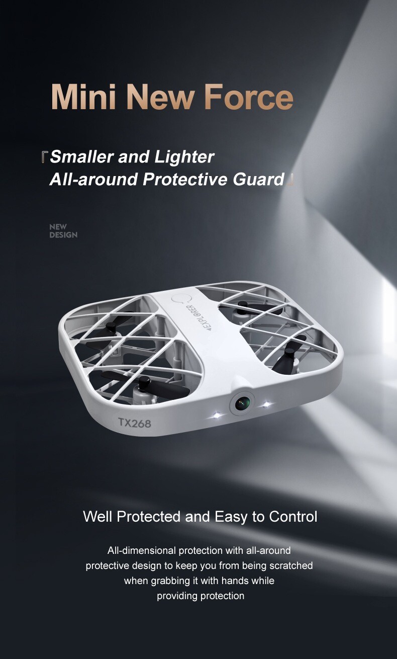
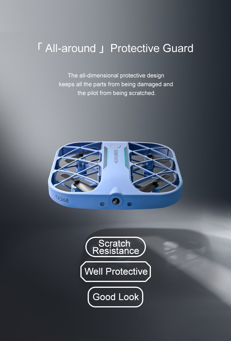
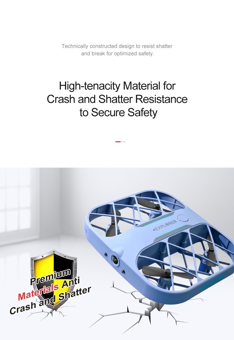
*High toughness material, anti-collision, anti-shattering
*Headless mode, easy to operate
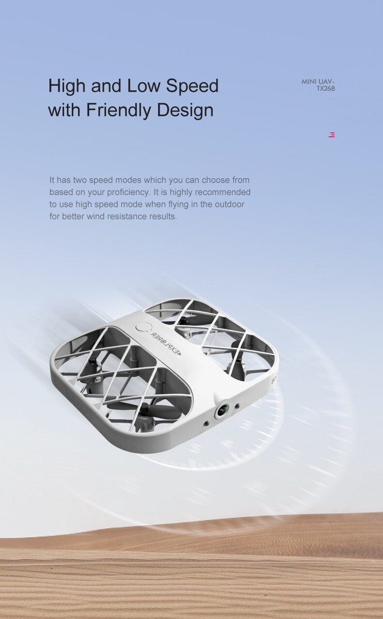
*Dual speed mode, free switching
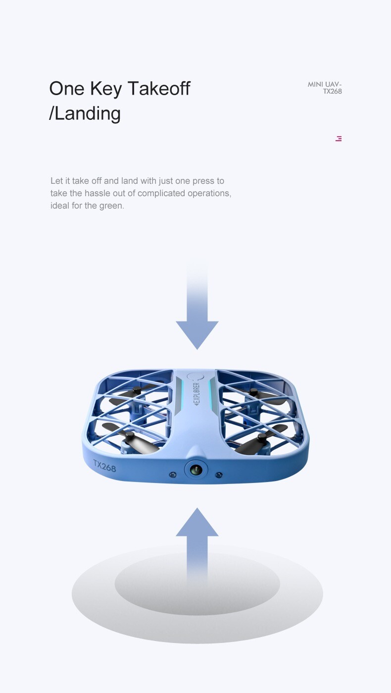
*One-touch take-off and landing, just one press
